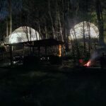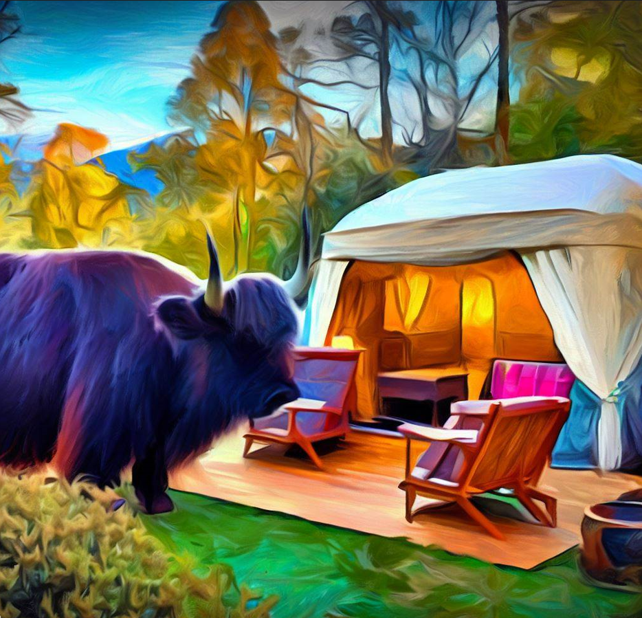
Luxury camping, or “glamping,” has gained immense popularity among outdoor enthusiasts who crave the beauty of nature without sacrificing comfort. However, even high-end campers must navigate the challenges of the wilderness. While platforms like AllTrails provide excellent resources for hikers and campers, luxury campers often seek more detailed and advanced topographic navigation tools to explore protected wilderness areas safely and effectively. This blog post delves into topographic navigation techniques and tools that go beyond AllTrails, ensuring a seamless blend of adventure and luxury.
Understanding Topographic Maps While Glamping
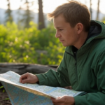
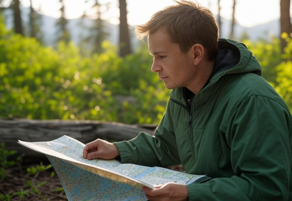
Topographic maps are essential for anyone venturing beyond your glamping site and into remote or protected wilderness areas, or, navigational glamping. Unlike standard trail maps, topographic maps provide detailed information about the terrain, including elevation changes, landforms, water bodies, and vegetation types. These maps use contour lines to represent elevation; closer lines indicate steeper terrain while wider spaced lines suggest flatter ground.

For luxury campers planning excursions in protected areas where trails may be less defined or non-existent, understanding how to read these maps is crucial. Here are some key features:
- Contour Lines: Indicate elevation and shape of the land.
- Scale: Helps determine distance between points.
- Legend: Explains symbols used on the map.
- Grid System: Assists with precise location pinpointing using coordinates.
Advanced Navigation Tools
While AllTrails is an excellent starting point for many adventurers, luxury campers often require more sophisticated tools to ensure safety and enhance their experience in secluded environments.
GPS Devices with Topo Maps
High-end GPS devices equipped with topographic maps offer real-time location tracking along with detailed terrain information. Brands like Garmin produce models specifically designed for rugged outdoor use. Features include:
- Preloaded topo maps
- Satellite imagery
- Waypoint marking
- Route planning capabilities
These devices can be lifesavers when exploring off-the-beaten-path locations where traditional trails are not available.

Mobile Apps Beyond AllTrails
Several mobile applications offer advanced features tailored for serious outdoor enthusiasts. Gaia GPS and BackCountry Navigator are two popular choices that provide comprehensive topo maps along with offline access—a critical feature when venturing into areas without cell service.
Digital Elevation Models (DEM)
Digital Elevation Models (DEMs) offer three-dimensional representations of terrain elevations obtained from satellite data or aerial surveys. These models can be integrated into mapping software to create detailed simulations of landscapes, aiding in route planning and hazard identification.
The Role of Technology in Protected Wilderness Areas
Protected wilderness areas present unique challenges due to restrictions on human activity aimed at preserving natural ecosystems. Luxury campers must navigate these regions responsibly by adhering to Leave No Trace principles while utilizing technology effectively.
Drone-Assisted Reconnaissance
Drones equipped with cameras can assist in surveying difficult-to-access areas before setting out on foot or vehicle-based exploration. This preemptive reconnaissance helps identify potential obstacles such as water crossings or dense vegetation patches that could impede progress.

Solar-Powered Gadgets
Given their reliance on electronic gadgets for navigation (e.g., GPS devices), luxury campers should consider investing in sola-powered chargers to maintain battery life during extended trips away from power sources.
Integrating Traditional Skills with Modern Tech
While modern technology significantly enhances navigational capabilities, traditional skills remain invaluable backups when tech fails—whether due to dead batteries or signal loss deep within forested regions.
Compass Proficiency
Understanding how compasses work alongside topographic maps ensures you always have a reliable means of orientation regardless of technological hiccups encountered en route.

Celestial Navigation Basics
Familiarity with basic celestial navigation techniques—using stars as reference points—can also prove beneficial during nighttime excursions devoid entirely artificial lighting sources otherwise relied upon heavily urban settings alike!
Safety First
Navigating protected wilderness areas requires a blend of advanced technology and traditional skills—especially important for navigational glamping, luxury campers seeking both adventure and comfort simultaneously! By leveraging high-quality topo maps via specialized apps/devices alongside fundamental navigational knowledge like compass usage and celestial orientation methods alike—you’ll ensure safe enjoyable experiences amidst nature’s most pristine environments! Remember always respect preserve these precious landscapes future generations enjoy too!